2020
SK3615 : Upper Packington Road, Ashby-de-la-Zouch
taken 4 years ago, near to Ashby-de-la-Zouch, Leicestershire, England
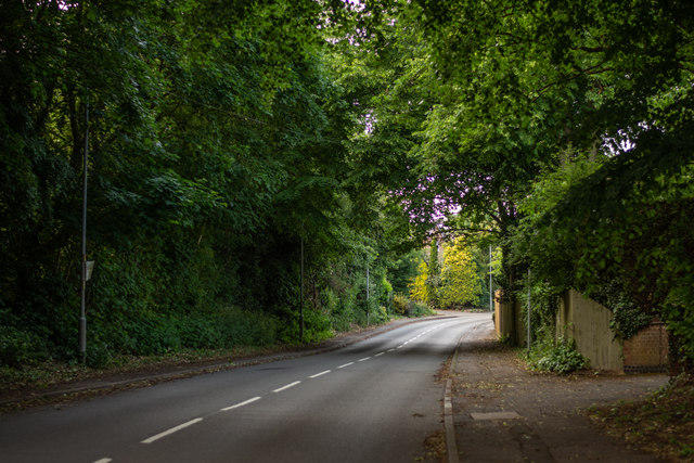
Upper Packington Road, Ashby-de-la-Zouch
Looking northwards, up a brief hill. The road crosses over the Leicester to Burton Railway, and eventually connects to Leicester Road.
 Map © Crown Copyright")
TIP: Click the map for more Large scale mapping
- Grid Square
- SK3615, 22 images (more nearby 🔍)
- Photographer
- Oliver Mills (more nearby)
- Date Taken
- Monday, 8 June, 2020 (more nearby)
- Submitted
- Monday, 8 June, 2020
- Subject Location
-
OSGB36:
 SK 3616 1589 [10m precision]
WGS84: 52:44.3662N 1:27.9514W - Camera Location
-
OSGB36: SK 3615 1579
- View Direction
- NORTH (about 0 degrees)