2019
TQ2086 : Blackbird Hill
taken 7 years ago, near to Willesden, Brent, England
This is 1 of 3 images, with title Blackbird Hill in this square
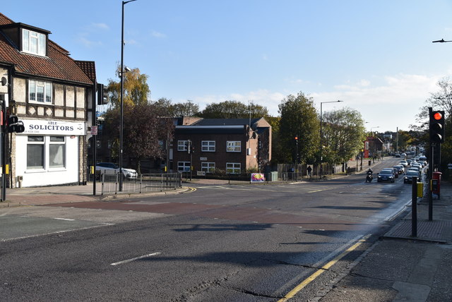
Blackbird Hill
A4088 Road
The A4088 runs 4 miles from Neasden to Sudbury.
Link
Walking the lines
A few years ago I read a book by Mark Mason "Walking the lines" in which he walked the route of the London Underground lines, overground. I will repeat this visiting all 272 stations (some more than once). My route tries to follow the line of the railway as closely as possible, using footpaths and roads, deviations are made to make the walk more "interesting".


TIP: Click the map for more Large scale mapping
- Grid Square
- TQ2086, 206 images (more nearby 🔍)
- Photographer
- N Chadwick (more nearby)
- Date Taken
- Sunday, 10 November, 2019 (more nearby)
- Submitted
- Friday, 12 June, 2020
- Subject Location
-
OSGB36:
 TQ 2054 8648
[10m precision]
WGS84: 51:33.8594N 0:15.7420W - Camera Location
-
OSGB36:
TQ 2051 8649
- View Direction
- East-southeast (about 112 degrees)


