2018
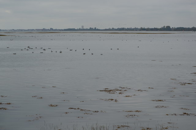
SU6803 : Langstone Harbour
taken 5 years ago, near to Farlington, Portsmouth, England
This is 1 of 8 images, with title Langstone Harbour in this square
Langstone Harbour
Langstone Harbour is an inlet of the English Channel in Hampshire, sandwiched between Portsea Island to the south and west, Hayling Island to the south and east, and Langstone to the north. Geographically it is a ria.
Together with Chichester Harbour, which is at the other (eastern) side of Hayling Island it is designated as a Special Protection Area for wildlife. West of Portsmouth is Portsmouth Harbour and the three linked harbours are important recreational and conservation areas as well as supporting commercial fishing and shipping. It is administered by the Langstone Harbour Board.
Wikipedia: Link
See other images of Langstone Harbour
 Map © Crown Copyright")
TIP: Click the map for more Large scale mapping
- Grid Square
- SU6803, 57 images (more nearby 🔍)
- Photographer
- N Chadwick (more nearby)
- Date Taken
- Thursday, 25 October, 2018 (more nearby)
- Submitted
- Friday, 19 June, 2020
- Subject Location
-
OSGB36:
 SU 6810 0367 [10m precision]
WGS84: 50:49.7142N 1:2.0664W - Camera Location
-
OSGB36: SU 6813 0373
- View Direction
- South-southwest (about 202 degrees)