SE2632 : Western Flatts Cliff Park: entrance from Western Road
taken 4 years ago, near to New Farnley, Leeds, England
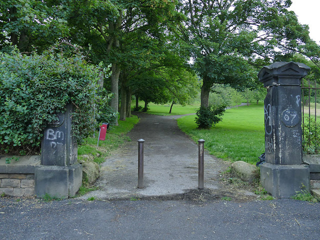
Cliff House in Wortley, also known as Western Flatts House, is a grade II listed villa built in 1846 for Joseph Cliff, proprietor of a fireclay works in Wortley as well as the Burmantofts Pottery Company. In 1902 the company donated the land east of the house to the City of Leeds to become Lower Wortley recreation ground, now known as Western Flatts Cliff Park (earlier maps show it as 'Western Flats'; it is unclear when the spelling was changed to 'Flatts'). The park covers 14 hectares and includes two football pitches, tennis and basketball courts, bowling green, a children's play area on the site of a former bandstand, and a rose garden.
Stephen Cliff donated the house itself, and its grounds, to the City in 1929. From 1966 to 1998 it housed Newcliff House Community Special School. The house is now back in private ownership but was damaged by an arson attack in 2017. The rose garden remains part of the public park.
 Map © Crown Copyright")
- Grid Square
- SE2632, 187 images (more nearby 🔍)
- Photographer
- Stephen Craven (more nearby)
- Date Taken
- Friday, 19 June, 2020 (more nearby)
- Submitted
- Sunday, 21 June, 2020
- Subject Location
-
OSGB36:
 SE 2678 3227 [10m precision]
WGS84: 53:47.1641N 1:35.7016W - Camera Location
-
OSGB36: SE 2678 3226
- View Direction
- NORTH (about 0 degrees)