2020
SK6415 : Ratcliffe Road, Thrussington
taken 4 years ago, near to Thrussington, Leicestershire, England
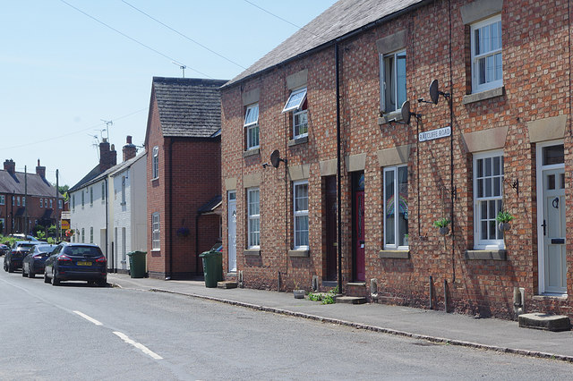
Ratcliffe Road, Thrussington
Ratcliffe Road is seen here from its junction with Rearsby Road. The 'Ratcliffe' in question is Ratcliffe on the Wreake, about two miles away (not to be confused with Ratcliffe on Soar and its power station).
 Map © Crown Copyright")
TIP: Click the map for more Large scale mapping
- Grid Square
- SK6415, 66 images (more nearby 🔍)
- Photographer
- Stephen McKay (more nearby)
- Date Taken
- Tuesday, 23 June, 2020 (more nearby)
- Submitted
- Thursday, 25 June, 2020
- Subject Location
-
OSGB36:
 SK 6486 1580 [10m precision]
WGS84: 52:44.1572N 1:2.4503W - Camera Location
-
OSGB36: SK 6488 1582
- View Direction
- Southwest (about 225 degrees)