2014
SN7377 : Above Coed Rheidol National Nature Reserve
taken 10 years ago, near to Devil's Bridge, Ceredigion/Sir Ceredigion, Wales
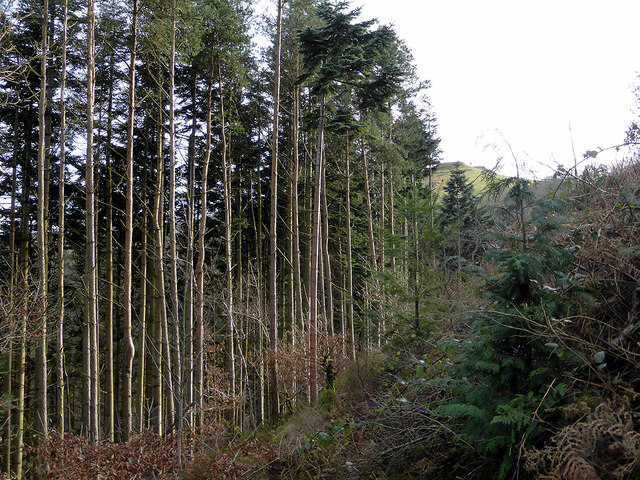
Above Coed Rheidol National Nature Reserve
The area on the left is mostly spruce and the land descends steeply into Cwm Rheidol. The area on the right is bounded by the Vale of Rheidol Railway and has been cleared to allow passengers a better view over the valley.
 Map © Crown Copyright")
TIP: Click the map for more Large scale mapping
- Grid Square
- SN7377, 659 images (more nearby 🔍)
- Photographer
- John Lucas (more nearby)
- Date Taken
- Sunday, 16 February, 2014 (more nearby)
- Submitted
- Friday, 26 June, 2020
- Subject Location
-
OSGB36:
 SN 7317 7762 [10m precision]
WGS84: 52:22.9129N 3:51.8894W - Camera Location
-
OSGB36: SN 73203 77649
- View Direction
- Southwest (about 225 degrees)