SU9744 : From Westbrook to Sainsbury's (24)
taken 4 years ago, near to Godalming, Surrey, England
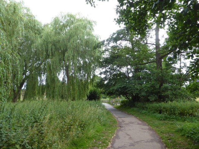
Since the dawn of time young people have always found a space to play a game and older ones a pleasant spot to sit and natter. But it was the industrial revolution that necessitated a more structured approach to recreational spaces, the idea that those who could do so should provide positive leisure experiences for the less well off. One of the by-products of the great Public Health Act of 1848 was the purposely built park. In 1847, Birkenhead opened a facility designed by the noted landscape architect Joseph Paxton. By 1870 the Mayor of Manchester, John Grave, could say of a new facility: It is a park of the people. The people have made it; the people have paid for it; and the people will use it. Thus, such places became focal points for space starved communities. The paintings of LS Lowry spring to mind.
Progress in this area ebbs and flows. In 1936 the King George V Playing Fields Scheme to create new sites got under way, but by the 1980s schools were being encouraged to sell their fields to pay for refurbishments. Fast forward another generation and the collective anxiety about child and adult obesity has seen the pendulum swing again. As Nick Piercey of Manchester Metropolitan University observes: space for recreation is not neutral but shaped by our past, present and future concerns.
 Map © Crown Copyright")
- Grid Square
- SU9744, 257 images (more nearby 🔍)
- Photographer
- Basher Eyre (more nearby)
- Date Taken
- Saturday, 27 June, 2020 (more nearby)
- Submitted
- Monday, 29 June, 2020
- Subject Location
-
OSGB36:
 SU 9702 4412 [10m precision]
WGS84: 51:11.2849N 0:36.7873W - Camera Location
-
OSGB36: SU 9704 4413
- View Direction
- West-southwest (about 247 degrees)