2006
NS7315 : Across Glenaylmer Burn to Todholes Hill
taken 18 years ago, near to Kirkland, Dumfries And Galloway, Scotland
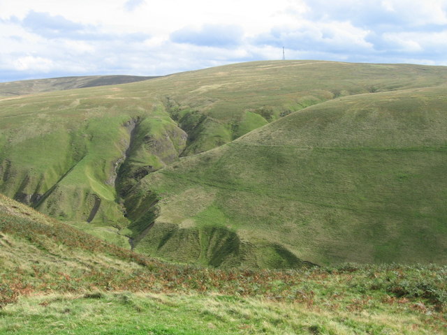
Across Glenaylmer Burn to Todholes Hill
 Map © Crown Copyright")
TIP: Click the map for more Large scale mapping
- Grid Square
- NS7315, 19 images (more nearby 🔍)
- Photographer
- Chris Wimbush (more nearby)
- Date Taken
- Friday, 22 September, 2006 (more nearby)
- Submitted
- Sunday, 5 July, 2020
- Subject Location
-
OSGB36:
 NS 7371 1568 [10m precision]
WGS84: 55:25.1225N 3:59.8031W - Camera Location
-
OSGB36: NS 73403 15802
- View Direction
- East-southeast (about 112 degrees)