2020
SD2365 : Roa Island Road
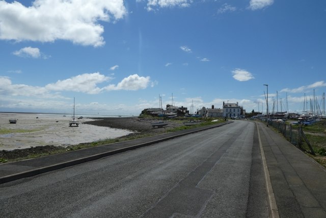
taken 4 years ago, near to Roa Island, Cumbria, England
This is 1 of 7 images, with title Roa Island Road in this square
Roa Island Road
Looking along the causeway to Roa Island.
Roa Island :: SD2364
Roa island is shaped a little like a boxing glove with the thumb sticking out! It is nowadays permanently causewayed to the mainland at Rampside, the road across this causeway being called the "Roa Island Road" not unreasonably.
It has an area of about 3ha (7½ acres) and a population of c.100 making it England's 15th most populous offshore island! see Link
The island ceased to be truly insular when the causeway was completed in 1846 at the expense of the island's then owner John Abel Smith, a London banker and MP for Chichester & Midhurst.
Wikipedia article on Roa Island Link
 Map © Crown Copyright")
TIP: Click the map for more Large scale mapping
- Grid Square
- SD2365, 70 images (more nearby 🔍)
- Photographer
- DS Pugh (more nearby)
- Date Taken
- Friday, 10 July, 2020 (more nearby)
- Submitted
- Sunday, 19 July, 2020
- Subject Location
-
OSGB36:
 SD 2321 6508 [10m precision]
WGS84: 54:4.5538N 3:10.5060W - Camera Location
-
OSGB36: SD 23241 65164
- View Direction
- South-southwest (about 202 degrees)