2020
SE2638 : Shelter in Lawnswood cemetery
taken 4 years ago, near to Tinshill, Leeds, England
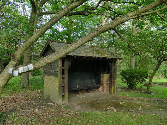
Shelter in Lawnswood cemetery
The cemetery opened in 1875 covering an area of 6.25 hectares west of Otley Road, operated by the Headingley-cum-Burley Burial Board. The buildings were designed by George Corson (architect) and the layout by William Gay (landscape gardener).
As with most 19th century civic cemeteries, the original area was divided roughly equally between the Church of England section, consecrated by the Bishop of Ripon, and the non-conformist section, each with its own mortuary chapel (both of which are still standing).
The crematorium by W S Braithwaite was added in 1905, the first in Great Britain to use a gas cremator. The cemetery was extended in 1908 and 1919, the columbarium by A E Kirk added in 1933, and a war memorial area established to the north alongside New Adel Lane. The cemetery was extended again in 1965, bringing it to a total of 21 hectares. It is now managed by Leeds City Council.
The pre-1965 areas are listed grade II as a public park, as a good example of a High Victorian public cemetery and an early-C20 garden of remembrance for a provincial city. The chapels, crematorium and columbarium are separately listed grade II, as are a few individual memorials within the cemetery.
Principal source: extracts from Historic England listing Link where a much more detailed description, and primary sources, are given.
See other images of Lawnswood cemetery, Leeds
As with most 19th century civic cemeteries, the original area was divided roughly equally between the Church of England section, consecrated by the Bishop of Ripon, and the non-conformist section, each with its own mortuary chapel (both of which are still standing).
The crematorium by W S Braithwaite was added in 1905, the first in Great Britain to use a gas cremator. The cemetery was extended in 1908 and 1919, the columbarium by A E Kirk added in 1933, and a war memorial area established to the north alongside New Adel Lane. The cemetery was extended again in 1965, bringing it to a total of 21 hectares. It is now managed by Leeds City Council.
The pre-1965 areas are listed grade II as a public park, as a good example of a High Victorian public cemetery and an early-C20 garden of remembrance for a provincial city. The chapels, crematorium and columbarium are separately listed grade II, as are a few individual memorials within the cemetery.
Principal source: extracts from Historic England listing Link
See other images of Lawnswood cemetery, Leeds
 Map © Crown Copyright")
TIP: Click the map for more Large scale mapping
- Grid Square
- SE2638, 146 images (more nearby 🔍)
- Photographer
- Stephen Craven (more nearby)
- Date Taken
- Tuesday, 14 July, 2020 (more nearby)
- Submitted
- Monday, 20 July, 2020
- Subject Location
-
OSGB36:
 SE 2667 3895 [10m precision]
WGS84: 53:50.7667N 1:35.7672W - Camera Location
-
OSGB36: SE 2668 3895
- View Direction
- East-southeast (about 112 degrees)