2020
TA0269 : Public footpath from Octon to Octon crossroads
taken 4 years ago, near to Thwing, East Riding of Yorkshire, England
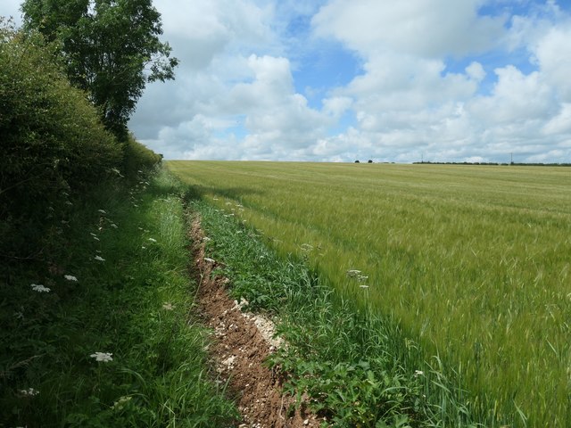
Public footpath from Octon to Octon crossroads
On the southern boundary of a chalky barley field.
 Map © Crown Copyright")
TIP: Click the map for more Large scale mapping
- Grid Square
- TA0269, 10 images (more nearby 🔍)
- Photographer
- Christine Johnstone (more nearby)
- Date Taken
- Wednesday, 8 July, 2020 (more nearby)
- Submitted
- Sunday, 26 July, 2020
- Subject Location
-
OSGB36:
 TA 0296 6988 [10m precision]
WGS84: 54:6.8698N 0:25.5860W - Camera Location
-
OSGB36: TA 0297 6988
- View Direction
- WEST (about 270 degrees)