2012
SJ6541 : Cheshire farmland south of Audlem
taken 12 years ago, near to Coxbank, Cheshire East, England
This is 1 of 2 images, with title Cheshire farmland south of Audlem in this square
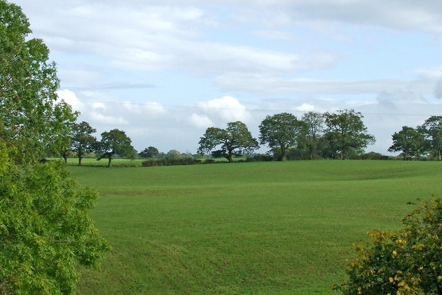
Cheshire farmland south of Audlem
Looking east-south-east from the canal north of Audlem Locks No 2.
 Map © Crown Copyright")
TIP: Click the map for more Large scale mapping
- Grid Square
- SJ6541, 101 images (more nearby 🔍)
- Photographer
- Roger D Kidd (more nearby)
- Date Taken
- Thursday, 18 October, 2012 (more nearby)
- Submitted
- Wednesday, 29 July, 2020
- Subject Location
-
OSGB36:
 SJ 6598 4176 [10m precision]
WGS84: 52:58.3264N 2:30.4821W - Camera Location
-
OSGB36: SJ 6589 4180
- View Direction
- East-southeast (about 112 degrees)