2012
SD3874 : Rough pasture on Humphrey Head
taken 12 years ago, near to Kents Bank, Cumbria, England
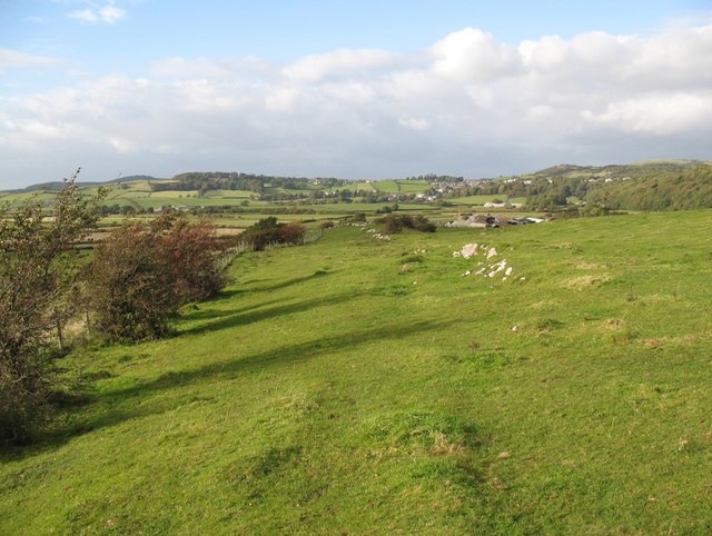
Rough pasture on Humphrey Head
The pasture is used for grazing both sheep and cattle. The limestone bedrock forms small outcrops.
The village of Allithwaite is in the background.
The village of Allithwaite is in the background.
 Map © Crown Copyright")
TIP: Click the map for more Large scale mapping
- Grid Square
- SD3874, 34 images (more nearby 🔍)
- Photographer
- Adrian Taylor (more nearby)
- Date Taken
- Saturday, 29 September, 2012 (more nearby)
- Submitted
- Saturday, 1 August, 2020
- Subject Location
-
OSGB36:
 SD 3897 7437 [10m precision]
WGS84: 54:9.6895N 2:56.1693W - Camera Location
-
OSGB36: SD 3899 7432
- View Direction
- North-northwest (about 337 degrees)