SE4527 : Aire and Calder Navigation at Fairburn Ings
taken 4 years ago, near to New Fryston, Wakefield, England
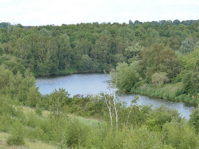
The Aire and Calder Navigation consists of a number of discrete sections of canalised river, which enable boats of a reasonable size to reach Leeds. It was developed gradually from 1699 until the mid-19th century, with the involvement of many famous civil engineers such as John Smeaton, John Rennie, Thomas Telford and George Leather. Locks were being enlarged right up to the 1960s. The original intention was to give Leeds a proper ship canal capable of taking seagoing vessels, like Manchester's, but that never happened. However it is capable of taking boats up to 200ft long, 20ft wide and with 8ft draught - considerably larger than most English canals.
Unlike narrow canals it didn't see the complete abandonment of commercial use in the late 20th century: parts of it were used regularly for delivering coal to Ferrybridge Power Station until the early years of the 21st century and there is still a modest amount of commercial traffic. The coal traffic used a unique system of trains of small 'tubs' towed by a tug.
The extant sections in the Aire valley are 7.6km parallel to the river Aire between Knowsthorpe (Knostrop) and just below Woodlesford, 1.1km downstream of the confluence of the Aire and Calder at Castleford, and the longest section, c.30 km from Ferrybridge down to Goole Docks, originally called the Knottingley and Goole Canal, where it joins the Ouse downstream of its confluence with the Aire. There is also a 13km branch up the lower Calder valley from Castleford to near Wakefield, where it joins the Calder and Hebble Navigation.
Sources consulted include 'Civil Engineering Heritage: Northern England' (M.F.Barbey, 1981) and the Canal and River Trust website Link
 Map © Crown Copyright")
- Grid Square
- SE4527, 162 images (more nearby 🔍)
- Photographer
- Stephen Craven (more nearby)
- Date Taken
- Sunday, 26 July, 2020 (more nearby)
- Submitted
- Monday, 3 August, 2020
- Subject Location
-
OSGB36:
 SE 454 274 [100m precision]
WGS84: 53:44.4607N 1:18.7710W - Camera Location
-
OSGB36: SE 452 273
- View Direction
- East-northeast (about 67 degrees)