SP1109 : Former RAF Bibury near Garnes Barn
taken 4 years ago, near to Ablington, Gloucestershire, England
RAF Bibury, also known as Ablington airfield, was in used from 30 May 1940 to 28 Feb 1950. It opened in the spring of 1940 as a Relief Landing Ground for No. 3 Service Flying Training School which was based at South Cerney. At first, this unit used Hawker Hart biplanes, but these were replaced with the twin-engined Oxford Airspeed.
Fighter involvement began in August 1940 as the Battle of Britain reached its peak. Hawker Hurricane and Supermarine Spitfire detachments of Nos. 87 and 92 Squadrons respectively stayed at RAF Bibury until December 1941in order to fill a geographical gap in central England and defend important manufacturing locations around Bristol and Birmingham. Some success was enjoyed against Luftwaffe aircraft in their flights which often had to operate at night. RAF Bibury was attacked on 19 August with the loss of one Spitfire and one airman.
In its more regular role, the airfield saw No. 3 Service Flying Training School become known as No. 3 (Pilots) Advanced Flying Unit on 1st March 1942. More Oxfords of No. 1539 Beam Approach Training Flight joined from the parent airfield on 13th July 1943, and both elements continued to use RAF Bibury until leaving in November 1944. Regular flying had now finished, but No. 7 Maintenance Unit continued to use the site for equipment storage until it closed in February 1950.
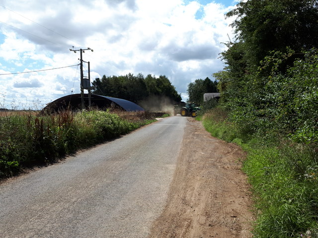
During the war, one T1 and five Blister hangars were built at RAF Bibury, and Sommerfeld Track metal runways replaced the original grass landing area. A significant amount still remains of RAF Bibury, including hangars, support buildings, and the perimeter track. The Classic Motor Hub is also situated there. LinkLink
 Map © Crown Copyright")
- Grid Square
- SP1109, 25 images (more nearby 🔍)
- Photographer
- Vieve Forward (more nearby)
- Date Taken
- Sunday, 2 August, 2020 (more nearby)
- Submitted
- Tuesday, 4 August, 2020
- Subject Location
-
OSGB36:
 SP 1102 0928 [10m precision]
WGS84: 51:46.9246N 1:50.4995W - Camera Location
-
OSGB36: SP 1104 0936
- View Direction
- South-southwest (about 202 degrees)