2020
SO4393 : Townbrook Valley
taken 4 years ago, near to Church Stretton, Shropshire, England
This is 1 of 4 images, with title Townbrook Valley in this square
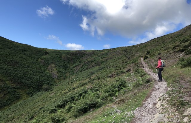
Townbrook Valley
Nearing the top of the valley on the Pole Bank path.
 Map © Crown Copyright")
TIP: Click the map for more Large scale mapping
- Grid Square
- SO4393, 49 images (more nearby 🔍)
- Photographer
- Chris Thomas-Atkin (more nearby)
- Date Taken
- Tuesday, 28 July, 2020 (more nearby)
- Submitted
- Tuesday, 11 August, 2020
- Subject Location
-
OSGB36:
 SO 4354 9395 [10m precision]
WGS84: 52:32.4279N 2:50.0342W - Camera Location
-
OSGB36: SO 43577 93980
- View Direction
- West-southwest (about 247 degrees)