2017
SK2174 : Coombs Dale
taken 7 years ago, near to Stoney Middleton, Derbyshire, England
This is 1 of 2 images, with title starting with Coombs in this square
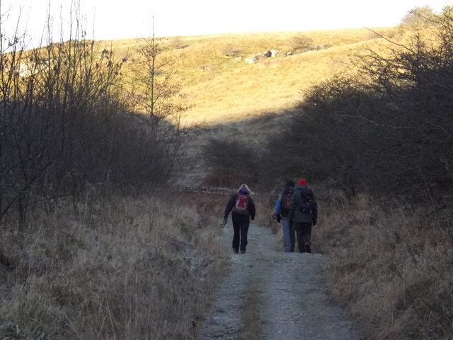
Coombs Dale
Just up the dale from Sallet Hole Mine, below Rough Side.
 Map © Crown Copyright")
TIP: Click the map for more Large scale mapping
- Grid Square
- SK2174, 32 images (more nearby 🔍)
- Photographer
- IAIN BARKER (more nearby)
- Date Taken
- Monday, 2 January, 2017 (more nearby)
- Submitted
- Sunday, 16 August, 2020
- Subject Location
-
OSGB36:
 SK 2164 7401 [10m precision]
WGS84: 53:15.7591N 1:40.6225W - Camera Location
-
OSGB36: SK 2171 7401
- View Direction
- WEST (about 270 degrees)