2020
TF0847 : Upstream entrance to Corn Mill Lock, Sleaford Navigation
taken 4 years ago, near to Evedon, Lincolnshire, England
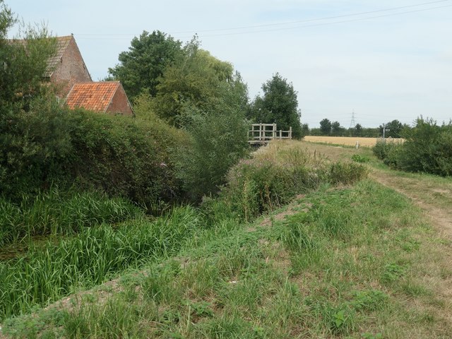
Upstream entrance to Corn Mill Lock, Sleaford Navigation
The Sleaford Navigation is a canalised section of the River Slea. It opened in May 1794. There were seven locks, each 60 ft long and 15 ft wide [18.3 x 4.6m]. Coal came into Sleaford from all over the East Midlands, and grain went out, mainly to Nottinghamshire. Boats stopped using this section in 1881, but the Sleaford Navigation Trust is now seeking to restore the navigation.
 Map © Crown Copyright")
TIP: Click the map for more Large scale mapping
- Grid Square
- TF0847, 44 images (more nearby 🔍)
- Photographer
- Christine Johnstone (more nearby)
- Date Taken
- Friday, 14 August, 2020 (more nearby)
- Submitted
- Wednesday, 26 August, 2020
- Subject Location
-
OSGB36:
 TF 0888 4795 [10m precision]
WGS84: 53:1.0671N 0:22.7021W - Camera Location
-
OSGB36: TF 0888 4792
- View Direction
- North-northeast (about 22 degrees)