2020
SN5932 : Llwybr uwchben Nant Ffrainc / Path above Nant Ffrainc
taken 4 years ago, near to Abergorlech, Carmarthenshire/Sir Gaerfyrddin, Wales
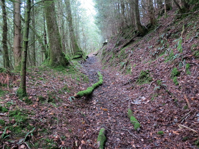
Llwybr uwchben Nant Ffrainc / Path above Nant Ffrainc
Llwybr cyhoeddus yn dringo'r allt uwchben Nant Ffrainc.
A public footpath ascending through the woods above Nant Ffrainc (trans. Ffrainc stream).
A public footpath ascending through the woods above Nant Ffrainc (trans. Ffrainc stream).
 Map © Crown Copyright")
TIP: Click the map for more Large scale mapping
- Grid Square
- SN5932, 4 images (more nearby 🔍)
- Photographer
- Alan Richards (more nearby)
- Date Taken
- Wednesday, 23 September, 2020 (more nearby)
- Submitted
- Wednesday, 23 September, 2020
- Subject Location
-
OSGB36:
 SN 5950 3294 [10m precision]
WGS84: 51:58.6267N 4:2.8205W - Camera Location
-
OSGB36: SN 5947 3294
- View Direction
- EAST (about 90 degrees)