2019
SE3261 : Farmland by Warren Lane
taken 4 years ago, near to Brearton, North Yorkshire, England
This is 1 of 2 images, with title Farmland by Warren Lane in this square
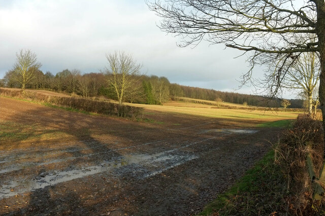
Farmland by Warren Lane
Looking right from SE3261 : Flooded field by Warren Lane, with saturated ground east of the flood. Up the slope are Jackson Plantation and Rigg Moor Plantation.
 Map © Crown Copyright")
TIP: Click the map for more Large scale mapping
- Grid Square
- SE3261, 78 images (more nearby 🔍)
- Photographer
- Derek Harper (more nearby)
- Date Taken
- Monday, 23 December, 2019 (more nearby)
- Submitted
- Thursday, 8 October, 2020
- Subject Location
-
OSGB36:
 SE 3279 6141 [10m precision]
WGS84: 54:2.8571N 1:30.0420W - Camera Location
-
OSGB36: SE 3276 6139
- View Direction
- East-northeast (about 67 degrees)