2020
TQ5838 : Frant Rd
taken 7 years ago, near to Royal Tunbridge Wells, Kent, England
This is 1 of 9 images, with title Frant Rd in this square
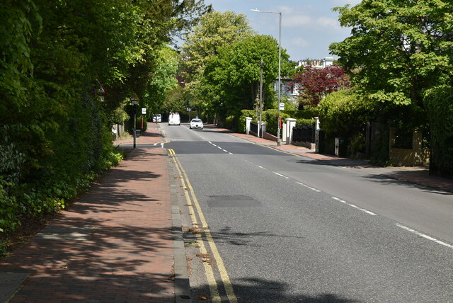
Frant Rd
The A267 road is a 21 mile long road from Tunbridge Wells TQ5838 : A26, A267 junction to Horsebridge.
Website: Link
See other images of A267 Road
Website: Link
See other images of A267 Road


TIP: Click the map for more Large scale mapping
- Grid Square
- TQ5838, 2050 images (more nearby 🔍)
- Photographer
- N Chadwick (more nearby)
- Date Taken
- Wednesday, 6 May, 2020 (more nearby)
- Submitted
- Friday, 9 October, 2020
- Subject Location
-
OSGB36:
 TQ 5825 3830
[10m precision]
WGS84: 51:7.3279N 0:15.5922E - Camera Location
-
OSGB36:
TQ 5824 3827
- View Direction
- North-northeast (about 22 degrees)


