2020
SK5953 : Central ride in Blidworth Woods
taken 4 years ago, near to Haywood Oaks, Nottinghamshire, England
This is 1 of 2 images, with title Central ride in Blidworth Woods in this square
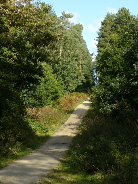
Central ride in Blidworth Woods
This links the car parks on Longdale Lane and Blidworth Lane and is part of the Robin Hood Way
Robin Hood Way
The Robin Hood Way is a long distance waymarked footpath in Nottinghamshire, which makes use of a number of footpaths, bridleways, and roads to provide a walking route linking locations associated with the Robin Hood legend. 84 miles long at its inception in 1985, it has since been extended to about 105 miles in order to include more places of interest. The Robin Hood Way Association publish a guidebook to the route, and provide further information about it on their website: Link
 Map © Crown Copyright")
TIP: Click the map for more Large scale mapping
- Grid Square
- SK5953, 20 images (more nearby 🔍)
- Photographer
- Alan Murray-Rust (more nearby)
- Date Taken
- Sunday, 11 October, 2020 (more nearby)
- Submitted
- Monday, 12 October, 2020
- Subject Location
-
OSGB36:
 SK 5918 5339 [10m precision]
WGS84: 53:4.4683N 1:7.0870W - Camera Location
-
OSGB36: SK 5918 5328
- View Direction
- NORTH (about 0 degrees)