2020
SJ7867 : Farmland near Bowshot Wood
taken 4 years ago, near to Twemlow Green, Cheshire East, England
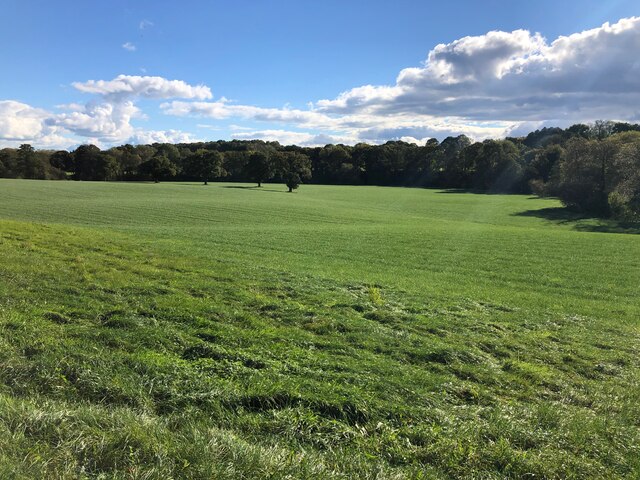
Farmland near Bowshot Wood
Taken from the Dane Valley Way - The River Dane is situated behind the tree line.
 Map © Crown Copyright")
TIP: Click the map for more Large scale mapping
- Grid Square
- SJ7867, 12 images (more nearby 🔍)
- Photographer
- Philip Cornwall (more nearby)
- Date Taken
- Sunday, 11 October, 2020 (more nearby)
- Submitted
- Wednesday, 14 October, 2020
- Subject Location
-
OSGB36:
 SJ 7840 6755 [10m precision]
WGS84: 53:12.2746N 2:19.4902W - Camera Location
-
OSGB36: SJ 78358 67688
- View Direction
- South-southeast (about 157 degrees)