2020
TF5575 : Out to sea
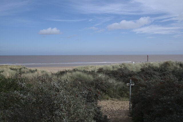
taken 4 years ago, near to Anderby Creek, Lincolnshire, England
Out to sea
The view from the top of TF5575 : The top of the dune with another view of the England Coast Path fingerpost (TF5575 : A bit of a scramble) and the North Sea beyond
King Charles III England Coast Path (ECP)
The King Charles III England Coast Path (ECP) will take advantage of new public rights of access to the coast, to form a 2,800 mile long public path right around England's coasts.
Parts of the path were already open in 2016, and it was intended at that time that the whole path would be completed by 2020. At that time, the path was called the England Coast Path. It was renamed King Charles III England Coast Path in 2023, in honour of the King's coronation.
More information about the ECP is on the National Trails website: Link
 Map © Crown Copyright")
TIP: Click the map for more Large scale mapping
- Grid Square
- TF5575, 72 images (more nearby 🔍)
- Photographer
- Bob Harvey (more nearby)
- Date Taken
- Wednesday, 7 October, 2020 (more nearby)
- Submitted
- Sunday, 18 October, 2020
- Subject Location
-
OSGB36:
 TF 5533 7585 [10m precision]
WGS84: 53:15.4153N 0:19.6226E - Camera Location
-
OSGB36: TF 5525 7582
- View Direction
- East-northeast (about 67 degrees)