2020
TQ5987 : Footpath on field boundary, near St Marys Lane, Upminster
taken 3 years ago, near to Childerditch, Essex, England
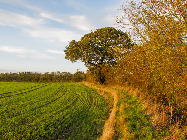
Footpath on field boundary, near St Marys Lane, Upminster
 Map © Crown Copyright")
TIP: Click the map for more Large scale mapping
- Grid Square
- TQ5987, 31 images (more nearby 🔍)
- Photographer
- Roger Jones (more nearby)
- Date Taken
- Sunday, 25 October, 2020 (more nearby)
- Submitted
- Sunday, 25 October, 2020
- Subject Location
-
OSGB36:
 TQ 5997 8752 [10m precision]
WGS84: 51:33.8323N 0:18.3916E - Camera Location
-
OSGB36: TQ 59993 87472
- View Direction
- North-northwest (about 337 degrees)