2019
SJ8097 : Huron Basin
taken 5 years ago, near to Trafford Park, Trafford, England
This is 1 of 14 images, with title Huron Basin in this square
Huron Basin
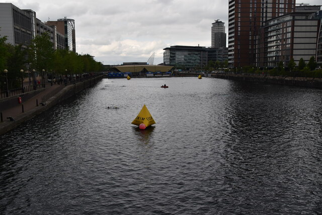
Salford Quays is an area of Salford, near the end of the Manchester Ship Canal. Previously the site of Manchester Docks, it became one of the first and largest urban regeneration projects in the United Kingdom following the closure of the dockyards in 1982. The Imperial War Museum. The Lowry & MediaCityUk are all located in the area.
Wikipedia: Link
See other images of Salford Quays
Wikipedia: Link
See other images of Salford Quays
 Map © Crown Copyright")
TIP: Click the map for more Large scale mapping
- Grid Square
- SJ8097, 1166 images (more nearby 🔍)
- Photographer
- N Chadwick (more nearby)
- Date Taken
- Saturday, 18 May, 2019 (more nearby)
- Submitted
- Wednesday, 28 October, 2020
- Subject Location
-
OSGB36:
 SJ 8063 9733 [10m precision]
WGS84: 53:28.3405N 2:17.5970W - Camera Location
-
OSGB36: SJ 8073 9736
- View Direction
- West-southwest (about 247 degrees)