2019
NT9916 : Scree, Brough Law
taken 4 years ago, near to Greensidehill, Northumberland, England
This is 1 of 2 images, with title Scree, Brough Law in this square
Scree, Brough Law
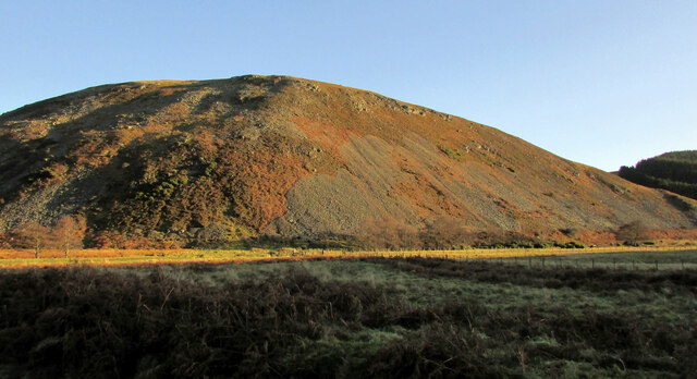
Ten minutes on from NT9916 : Scree, Brough Law and I've reached the floor of the Breamish valley, here dominated by the same west wall of the hill.
 Map © Crown Copyright")
TIP: Click the map for more Large scale mapping
- Grid Square
- NT9916, 89 images (more nearby 🔍)
- Photographer
- Derek Harper (more nearby)
- Date Taken
- Tuesday, 31 December, 2019 (more nearby)
- Submitted
- Tuesday, 3 November, 2020
- Subject Location
-
OSGB36:
 NT 995 162 [100m precision]
WGS84: 55:26.3808N 2:0.5673W - Camera Location
-
OSGB36: NT 9933 1638
- View Direction
- East-southeast (about 112 degrees)