2020
SU5954 : Farmland, Wootton St Lawrence
taken 4 years ago, near to Wootton st Lawrence, Hampshire, England
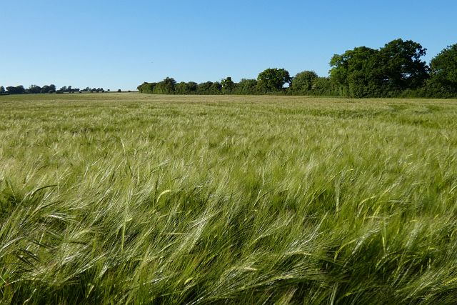
Farmland, Wootton St Lawrence
Barley beside the bridleway to the east of Whitedown.
 Map © Crown Copyright")
TIP: Click the map for more Large scale mapping
- Grid Square
- SU5954, 89 images (more nearby 🔍)
- Photographer
- Andrew Smith (more nearby)
- Date Taken
- Sunday, 31 May, 2020 (more nearby)
- Submitted
- Saturday, 14 November, 2020
- Subject Location
-
OSGB36:
 SU 591 541 [100m precision]
WGS84: 51:17.0270N 1:9.1698W - Camera Location
-
OSGB36: SU 592 540
- View Direction
- North-northwest (about 337 degrees)