2020
TA1021 : Path across the former Goxhill Airfield
taken 4 years ago, near to South End, North Lincolnshire, England
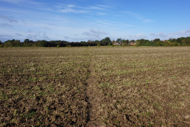
Path across the former Goxhill Airfield
 Map © Crown Copyright")
TIP: Click the map for more Large scale mapping
- Grid Square
- TA1021, 79 images (more nearby 🔍)
- Photographer
- Ian S (more nearby)
- Date Taken
- Wednesday, 7 October, 2020 (more nearby)
- Submitted
- Monday, 23 November, 2020
- Subject Location
-
OSGB36:
 TA 1098 2151 [10m precision]
WGS84: 53:40.6967N 0:19.2787W - Camera Location
-
OSGB36: TA 1106 2149
- View Direction
- WEST (about 270 degrees)