2020
SN5835 : Cyffordd o draciau coedwigaeth / A junction of forestry tracks
taken 3 years ago, near to Abergorlech, Carmarthenshire/Sir Gaerfyrddin, Wales
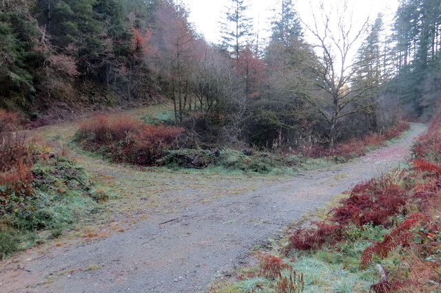
Cyffordd o draciau coedwigaeth / A junction of forestry tracks
Cyffordd o draciau coedwigaeth ar lan Nant Llywelau-bach.
A junction of forestry tracks on the banks of Nant Llywelau-bach.
A junction of forestry tracks on the banks of Nant Llywelau-bach.
 Map © Crown Copyright")
TIP: Click the map for more Large scale mapping
- Grid Square
- SN5835, 3 images (more nearby 🔍)
- Photographer
- Alan Richards (more nearby)
- Date Taken
- Friday, 27 November, 2020 (more nearby)
- Submitted
- Friday, 27 November, 2020
- Subject Location
-
OSGB36:
 SN 5828 3515 [10m precision]
WGS84: 51:59.7994N 4:3.9403W - Camera Location
-
OSGB36: SN 5824 3518
- View Direction
- East-southeast (about 112 degrees)