2020
SO2118 : Towards a bend in the A40, Crickhowell
taken 3 years ago, near to Crickhowell, Powys, Wales
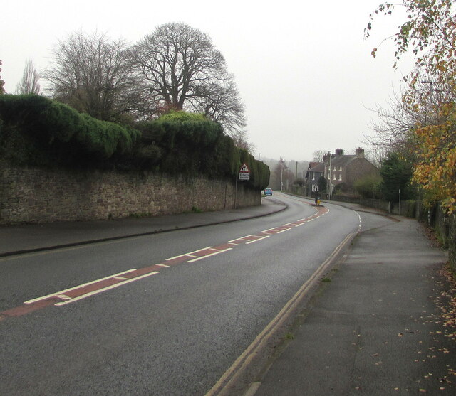
Towards a bend in the A40, Crickhowell
Ahead for Abergavenny. Behind the camera for Crickhowell town centre.
A40 Road
The A40 road runs 256 miles from the City of London to Fishguard. It is a major trunk road and runs through High Wycombe, Oxford, Cheltenham, Ross on Wye, Abergavenny, Llandeilo and Carmarthen.
 Map © Crown Copyright")
TIP: Click the map for more Large scale mapping
- Grid Square
- SO2118, 625 images (more nearby 🔍)
- Photographer
- Jaggery (more nearby)
- Date Taken
- Sunday, 29 November, 2020 (more nearby)
- Submitted
- Sunday, 29 November, 2020
- Subject Location
-
OSGB36:
 SO 2196 1819 [10m precision]
WGS84: 51:51.4092N 3:8.0730W - Camera Location
-
OSGB36: SO 2190 1825
- View Direction
- Southeast (about 135 degrees)