2020
NU1623 : Brownieside Quarry
taken 3 years ago, near to Brownieside, Northumberland, England
This is 1 of 2 images, with title Brownieside Quarry in this square
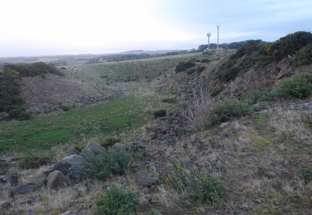
Brownieside Quarry
Overlooked by communication masts.
 Map © Crown Copyright")
TIP: Click the map for more Large scale mapping
- Grid Square
- NU1623, 51 images (more nearby 🔍)
- Photographer
- Russel Wills (more nearby)
- Date Taken
- Wednesday, 2 December, 2020 (more nearby)
- Submitted
- Thursday, 3 December, 2020
- Subject Location
-
OSGB36:
 NU 1624 2359 [10m precision]
WGS84: 55:30.3490N 1:44.6666W - Camera Location
-
OSGB36: NU 16234 23660
- View Direction
- SOUTH (about 180 degrees)