2020
SD9059 : Pennine Way between Airton and Hanlith
taken 3 years ago, near to Airton, North Yorkshire, England
This is 1 of 3 images, with title starting with Pennine Way in this square
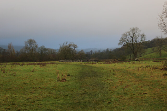
Pennine Way between Airton and Hanlith
The National Trail is visible by the slight discolourisation created by a procession of footprints
The Pennine Way
The Pennine Way is a National Trail in England, with a small section in Scotland. The trail runs 267 miles from Edale, in the northern Derbyshire Peak District, north through the Yorkshire Dales and the Northumberland National Park and ends at Kirk Yetholm, just inside the Scottish border. The path runs along the Pennine hills, sometimes described as the "backbone of England". Although not the United Kingdom's longest National Trail, it is according to the Ramblers' Association "one of Britain's best known and toughest".
 Map © Crown Copyright")
TIP: Click the map for more Large scale mapping
- Grid Square
- SD9059, 182 images (more nearby 🔍)
- Photographer
- Chris Heaton (more nearby)
- Date Taken
- Wednesday, 2 December, 2020 (more nearby)
- Submitted
- Friday, 4 December, 2020
- Subject Location
-
OSGB36:
 SD 9014 5991 [10m precision]
WGS84: 54:2.1046N 2:9.1220W - Camera Location
-
OSGB36: SD 9015 5986
- View Direction
- North-northwest (about 337 degrees)