2020
SP7175 : Lane climbing towards Shutterdown Spinney
taken 3 years ago, near to Haselbech, West Northamptonshire, England
This is 1 of 2 images, with title Lane climbing towards Shutterdown Spinney in this square
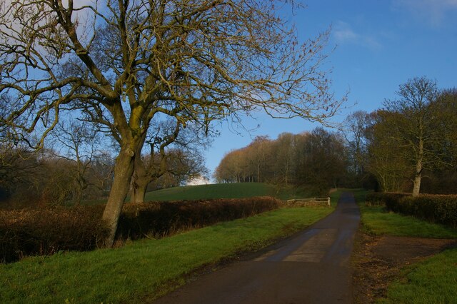
Lane climbing towards Shutterdown Spinney
The wide verges run alongside this lane all the way from Haselbech to Cottesbrooke: presumably it once needed to be far wider than the current tarmac surface, most probably in order to move livestock.
 Map © Crown Copyright")
TIP: Click the map for more Large scale mapping
- Grid Square
- SP7175, 19 images (more nearby 🔍)
- Photographer
- Christopher Hilton (more nearby)
- Date Taken
- Sunday, 6 December, 2020 (more nearby)
- Submitted
- Saturday, 12 December, 2020
- Subject Location
-
OSGB36:
 SP 7103 7585 [10m precision]
WGS84: 52:22.5657N 0:57.4808W - Camera Location
-
OSGB36: SP 7102 7580
- View Direction
- NORTH (about 0 degrees)