2020
SS9395 : Ordnance Survey Cut Mark
taken 3 years ago, near to Cwmparc, Rhondda Cynon Taf, Wales
This is 1 of 6 images, with title Ordnance Survey Cut Mark in this square
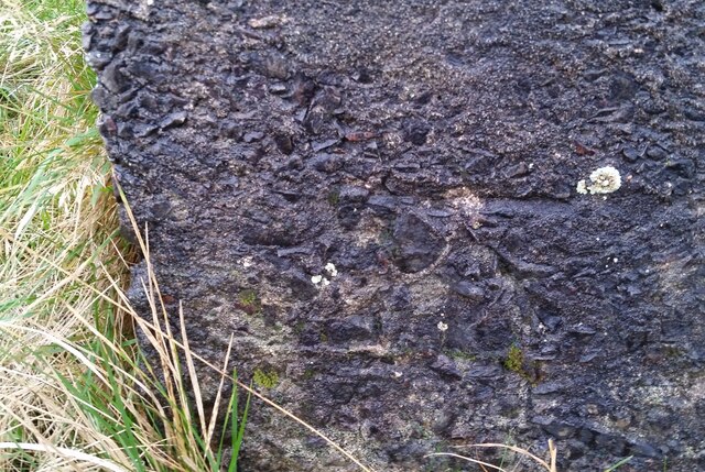
Ordnance Survey Cut Mark
This OS cut mark can be found on the culvert south side of the road. It marks a point 337.469m above mean sea level.
 Map © Crown Copyright")
TIP: Click the map for more Large scale mapping
- Grid Square
- SS9395, 41 images (more nearby 🔍)
- Photographer
- Adrian Dust (more nearby)
- Date Taken
- Wednesday, 9 December, 2020 (more nearby)
- Submitted
- Saturday, 12 December, 2020
- Subject Location
-
OSGB36:
 SS 9376 9541 [10m precision]
WGS84: 51:38.8449N 3:32.2145W - Camera Location
-
OSGB36: SS 9376 9541
- View Direction
- SOUTH (about 180 degrees)