2020
SH4261 : Navigation Buoy
taken 4 years ago, 4 km S of Niwbwrch, Isle of Anglesey/Sir Ynys Mon, Wales
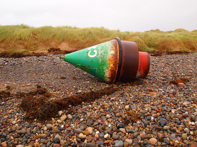
Navigation Buoy
This is one of the buoys used to mark the channel at the Caernarfon Bar. Washed up from its mooring after another storm.
 Map © Crown Copyright")
TIP: Click the map for more Large scale mapping
- Grid Square
- SH4261, 7 images (more nearby 🔍)
- Photographer
- Chris Andrews (more nearby)
- Date Taken
- Sunday, 23 August, 2020 (more nearby)
- Submitted
- Sunday, 27 December, 2020
- Subject Location
-
OSGB36:
 SH 4283 6181 [10m precision]
WGS84: 53:7.8129N 4:21.0363W - Camera Location
-
OSGB36: SH 4281 6179
- View Direction
- Northeast (about 45 degrees)