2020
SK6440 : Stoke Lock
taken 3 years ago, near to Stoke Bardolph, Nottinghamshire, England
This is 1 of 15 images, with title Stoke Lock in this square
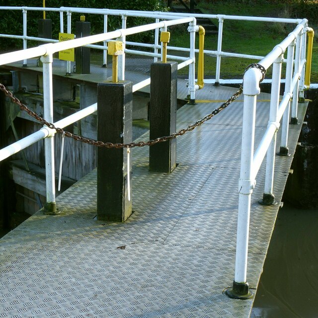
Stoke Lock
Detail of the upper lock gates.
River Trent
The River Trent is the third longest river in England (185 miles). It rises on Biddolph Moor, Staffordshire, then follows a generally north east to northerly path to join the River Ouse at Trent Falls. The Ouse & Trent combined form the Humber Estuary.
It is a very important river, economically having a number of Power Stations and industrial sites along its banks. It is navigable as far as Burton-On-Trent.
Wikipedia: Link
 Map © Crown Copyright")
TIP: Click the map for more Large scale mapping
- Grid Square
- SK6440, 93 images (more nearby 🔍)
- Photographer
- Alan Murray-Rust (more nearby)
- Date Taken
- Sunday, 27 December, 2020 (more nearby)
- Submitted
- Wednesday, 30 December, 2020
- Subject Location
-
OSGB36:
 SK 6494 4066 [10m precision]
WGS84: 52:57.5633N 1:2.0826W - Camera Location
-
OSGB36: SK 6494 4067
- View Direction
- South-southeast (about 157 degrees)