TL8467 : Lark Valley Path and River Lark
taken 7 years ago, near to Fornham St Martin, Suffolk, England
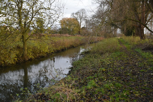
The River Lark crosses the border between Suffolk and Cambridgeshire. It is a tributary of the River Great Ouse, and was extended when that river was re-routed as part of drainage improvements. It is thought to have been used for navigation since Roman times, and improvements were made in 1638 and in the early 18th century, when locks and staunches were built.
The river rises just south of Bury St Edmunds and flows northwards to meet the River Great Ouse at Littleport, a distance of 31 miles.
The Lark Valley Path is a 13 mile long waymarked walk between Mildenhall and Bury St Edmunds, It includes riverside, woodland, heathland and parkland sections, including West Stow Country Park, Culford Hall and Lackford Wildfowl Reserve.
A 79 mile long route across Suffolk, using the Stour Valley Path to Sudbury and Long Melford and then going via Lavenham and Little Welnetham to Bury St Edmunds, burial place of the martyr King Edmund slain by the Danes in 869, along the waymarked Lark Valley Path (13 miles and included on OS mapping) to the Icknield Way Path at West Stow before striking over the Brecks to Thetford and the Hereward Way.
Logo TL8560 : St Edmund Way logo


- Grid Square
- TL8467, 45 images (more nearby 🔍)
- Photographer
- N Chadwick (more nearby)
- Date Taken
- Saturday, 30 November, 2019 (more nearby)
- Submitted
- Saturday, 2 January, 2021
- Subject Location
-
OSGB36:
 TL 8487 6702
[10m precision]
WGS84: 52:16.2150N 0:42.4806E - Camera Location
-
OSGB36:
TL 8485 6704
- View Direction
- Southeast (about 135 degrees)


