2019
TQ3685 : Lea Navigation
taken 4 years ago, near to Leyton, Waltham Forest, England
This is 1 of 6 images, with title Lea Navigation in this square
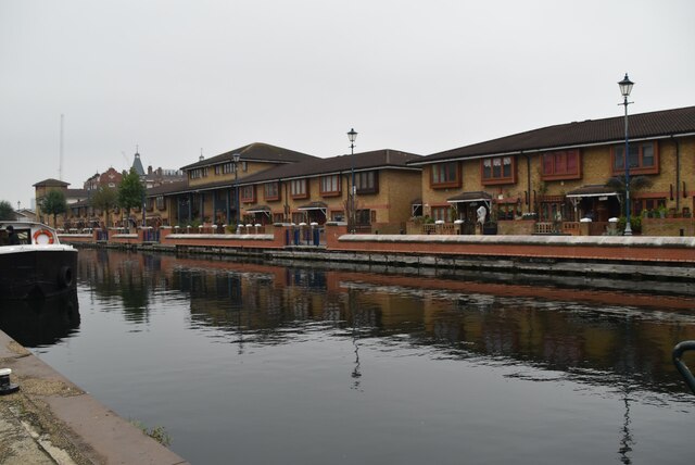
Lea Navigation
The Lee Navigation is a canalised river incorporating the River Lea (River Lee). It runs from Hertford Castle Weir to the River Thames at Bow Creek; its first lock is Hertford Lock and its last Bow Locks.
See Wikipedia article: Link
See other images of Lea Navigation (Lee Navigation)
See Wikipedia article: Link
See other images of Lea Navigation (Lee Navigation)
 Map © Crown Copyright")
TIP: Click the map for more Large scale mapping
- Grid Square
- TQ3685, 140 images (more nearby 🔍)
- Photographer
- N Chadwick (more nearby)
- Date Taken
- Thursday, 21 November, 2019 (more nearby)
- Submitted
- Tuesday, 26 January, 2021
- Subject Location
-
OSGB36:
 TQ 3697 8502 [10m precision]
WGS84: 51:32.8474N 0:1.5626W - Camera Location
-
OSGB36: TQ 3696 8506
- View Direction
- South-southeast (about 157 degrees)