2020
SP0487 : Apartments at Port Loop
taken 3 years ago, near to Chad Valley, Birmingham, England
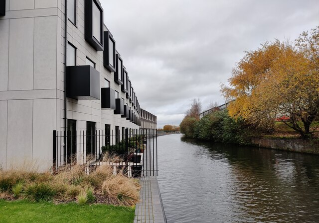
Apartments at Port Loop
Along the Icknield Port loop of the Birmingham Canal Navigations Main Line.
Birmingham Canal (BCN Main Line)
The Birmingham Canal was built from 1768 to 1772 by James Brindley from the then edge of Birmingham, at Paradise Wharf (also known as Old Wharf) near to Gas Street Basin to meet the Staffordshire and Worcestershire Canal at Aldersley, near Wolverhampton. The canal was upgraded and straightened by Thomas Telford between 1824-7.
The canal forms part of the Birmingham Canals Navigation, a network of canals in and around the city.
Wikipedia: Link
Birmingham Canal, Old Line
The Birmingham Canal was built between 1778 and 1782 as a contour canal with a sinuous course as a result. When the New Line was created by Thomas Telford in 1824-7, many sections of the original canal were retained as they still provided vital access for local industries.
 Map © Crown Copyright")
TIP: Click the map for more Large scale mapping
- Grid Square
- SP0487, 233 images (more nearby 🔍)
- Photographer
- Mat Fascione (more nearby)
- Date Taken
- Tuesday, 17 November, 2020 (more nearby)
- Submitted
- Tuesday, 26 January, 2021
- Subject Location
-
OSGB36:
 SP 049 870 [100m precision]
WGS84: 52:28.8866N 1:55.7479W - Camera Location
-
OSGB36: SP 049 870
- View Direction
- Northeast (about 45 degrees)