2021
NS7644 : Ruined farm building at Castlehill
taken 3 years ago, near to Stonehouse, South Lanarkshire, Scotland
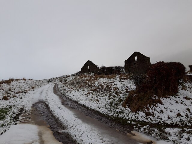
Ruined farm building at Castlehill
Pictured on a rather dreich day in January.
 Map © Crown Copyright")
TIP: Click the map for more Large scale mapping
- Grid Square
- NS7644, 12 images (more nearby 🔍)
- Photographer
- Alan O'Dowd (more nearby)
- Date Taken
- Thursday, 28 January, 2021 (more nearby)
- Submitted
- Monday, 1 February, 2021
- Subject Location
-
OSGB36:
 NS 7674 4453 [10m precision]
WGS84: 55:40.7134N 3:57.7048W - Camera Location
-
OSGB36: NS 7678 4452
- View Direction
- West-northwest (about 292 degrees)