2018
NB4043 : Bog, Tom Blàr nam Faoileag, Isle of Lewis
taken 6 years ago, near to Cliastul [water Feature], Na h-Eileanan an Iar, Great Britain
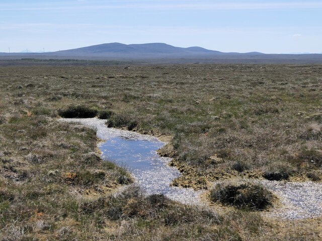
Bog, Tom Blàr nam Faoileag, Isle of Lewis
Looking towards the Beinn Mholach group of hills.
According to the OS Name Book of 1848-1852, Tom Blàr nam Faoileag means Hillock of the Gull's Plain.
According to the OS Name Book of 1848-1852, Tom Blàr nam Faoileag means Hillock of the Gull's Plain.
 Map © Crown Copyright")
TIP: Click the map for more Large scale mapping
- Grid Square
- NB4043, 2 images (more nearby 🔍)
- Photographer
- Claire Pegrum (more nearby)
- Date Taken
- Tuesday, 29 May, 2018 (more nearby)
- Submitted
- Wednesday, 24 February, 2021
- Subject Location
-
OSGB36:
 NB 40907 43297 [1m precision]
WGS84: 58:18.0946N 6:25.4434W - Camera Location
-
OSGB36: NB 40907 43297
- View Direction
- Southwest (about 225 degrees)