2021
TA2218 : Humber View
taken 3 years ago, 4 km W of Sunk Island, East Riding of Yorkshire, England
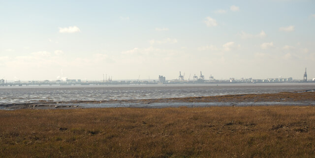
Humber View
The nearest part of TA2218 is 251m away from the photographer's position on the Humber riverbank. The soft mud shore is impossible to walk over. One day I'll get a full Geograph taken with a drone.... one day!
 Map © Crown Copyright")
TIP: Click the map for more Large scale mapping
- Grid Square
- TA2218, 3 images (more nearby 🔍)
- Photographer
- Andy Beecroft (more nearby)
- Date Taken
- Friday, 26 February, 2021 (more nearby)
- Submitted
- Friday, 26 February, 2021
- Subject Location
-
OSGB36:
 TA 229 189 [100m precision]
WGS84: 53:39.1458N 0:8.4910W - Camera Location
-
OSGB36: TA 231 191
- View Direction
- Southwest (about 225 degrees)