2018
SH5837 : Flooding at the eastern end of The Cob
taken 5 years ago, near to Portmeirion, Gwynedd, Wales
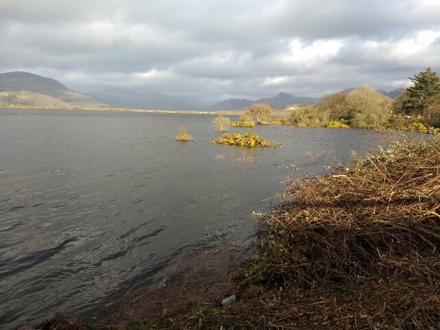
Flooding at the eastern end of The Cob
 Map © Crown Copyright")
TIP: Click the map for more Large scale mapping
- Grid Square
- SH5837, 789 images (more nearby 🔍)
- Photographer
- David Medcalf (more nearby)
- Date Taken
- Friday, 7 December, 2018 (more nearby)
- Submitted
- Sunday, 28 February, 2021
- Subject Location
-
OSGB36:
 SH 5842 3796 [10m precision]
WGS84: 52:55.2205N 4:6.4379W - Camera Location
-
OSGB36: SH 58384 37886
- View Direction
- North-northeast (about 22 degrees)