2008
TM4598 : Railway lines
taken 16 years ago, near to St Olaves, Norfolk, England
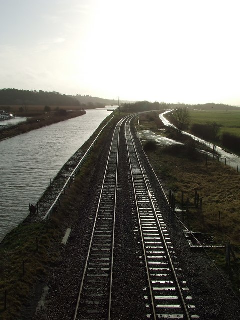
Railway lines
Looking south west from the road bridge St.Olaves.
 Map © Crown Copyright")
TIP: Click the map for more Large scale mapping
- Grid Square
- TM4598, 152 images (more nearby 🔍)
- Photographer
- Keith Evans (more nearby)
- Date Taken
- Tuesday, 5 February, 2008 (more nearby)
- Submitted
- Tuesday, 5 February, 2008
- Subject Location
-
OSGB36:
 TM 455 989 [100m precision]
WGS84: 52:31.9759N 1:37.1337E - Camera Location
-
OSGB36: TM 453 991
- View Direction
- Southeast (about 135 degrees)