2008
SU6252 : Allotment access road joining Churchill Way West
taken 16 years ago, near to Basingstoke, Hampshire, England
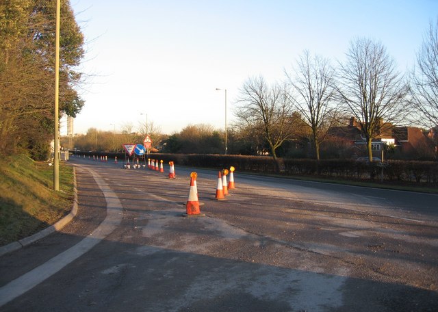
Allotment access road joining Churchill Way West
 Map © Crown Copyright")
TIP: Click the map for more Large scale mapping
- Grid Square
- SU6252, 1002 images (more nearby 🔍)
- Photographer
- Mr Ignavy (more nearby)
- Date Taken
- Wednesday, 6 February, 2008 (more nearby)
- Submitted
- Wednesday, 6 February, 2008
- Subject Location
-
OSGB36:
 SU 629 523 [100m precision]
WGS84: 51:15.9993N 1:5.9293W - Camera Location
-
OSGB36: SU 629 523
- View Direction
- EAST (about 90 degrees)