2021
NZ1577 : Thornyford Farmhouse
taken 3 years ago, near to Ogle, Northumberland, England
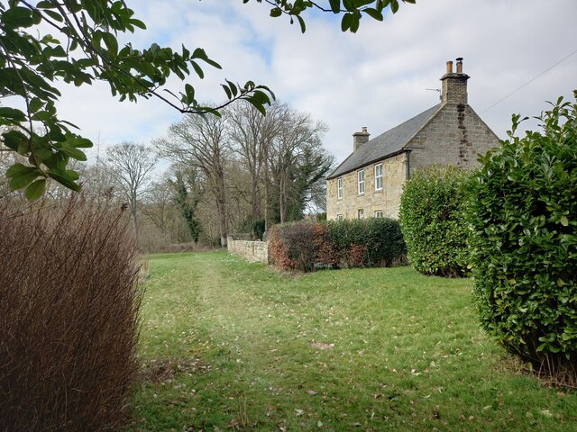
Thornyford Farmhouse
 Map © Crown Copyright")
TIP: Click the map for more Large scale mapping
- Grid Square
- NZ1577, 21 images (more nearby 🔍)
- Photographer
- Les Hull (more nearby)
- Date Taken
- Saturday, 6 March, 2021 (more nearby)
- Submitted
- Saturday, 10 April, 2021
- Subject Location
-
OSGB36:
 NZ 1555 7742 [10m precision]
WGS84: 55:5.4584N 1:45.4743W - Camera Location
-
OSGB36: NZ 1556 7740
- View Direction
- North-northwest (about 337 degrees)