2021
J3432 : Dam separating the upper and lower disused saw mill ponds at Tollymore
taken 3 years ago, 3 km from Newcastle, Co Down, Northern Ireland
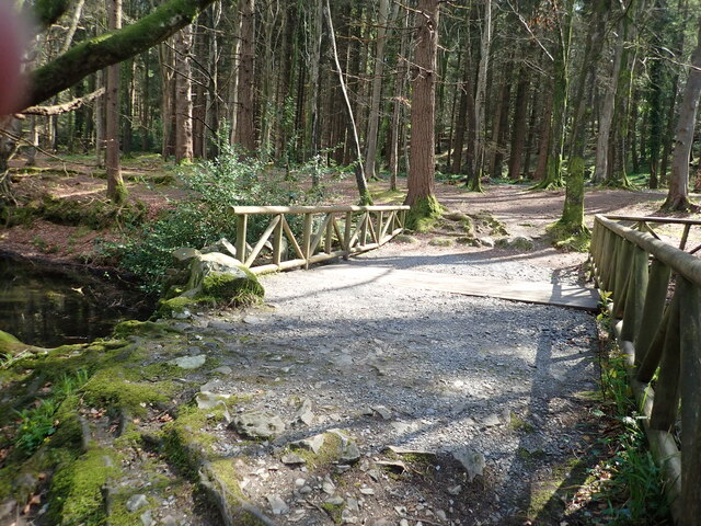
Dam separating the upper and lower disused saw mill ponds at Tollymore
The timber boarding gives access to a culvert linking the two ponds.
Loading map... (JavaScript required)
- Grid Square
- J3432, 425 images (more nearby 🔍)
- Photographer
- Eric Jones (more nearby)
- Date Taken
- Friday, 16 April, 2021 (more nearby)
- Submitted
- Sunday, 18 April, 2021
- Subject Location
-
Irish:
 J 349 321 [100m precision]
WGS84: 54:13.2473N 5:55.9441W - Camera Location
-
Irish: J 349 321
- View Direction
- South-southeast (about 157 degrees)