2021
NT8525 : Descent of White Law, Pennine Way
taken 3 years ago, 4 km SE of Kirk Yetholm, Scottish Borders, Scotland
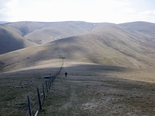
Descent of White Law, Pennine Way
Forget the Pennine Way of legend - no bottomless peat and heinous erosion here - the fact that the route has split into two alternatives here helps as does its modern unfashionable status. A fine walk on well drained grass along the Border between White Law and Black Hag (background).
 Map © Crown Copyright")
TIP: Click the map for more Large scale mapping
- Grid Square
- NT8525, 47 images (more nearby 🔍)
- Photographer
- Richard Webb (more nearby)
- Date Taken
- Friday, 16 April, 2021 (more nearby)
- Submitted
- Monday, 19 April, 2021
- Subject Location
-
OSGB36:
 NT 8580 2582 [10m precision]
WGS84: 55:31.5546N 2:13.5892W - Camera Location
-
OSGB36: NT 8578 2587
- View Direction
- South-southeast (about 157 degrees)