2021
NY9917 : Scur Beck and hill road heading east
taken 3 years ago, near to Lartington, County Durham, England
This is 1 of 6 images, with title starting with Scur in this square
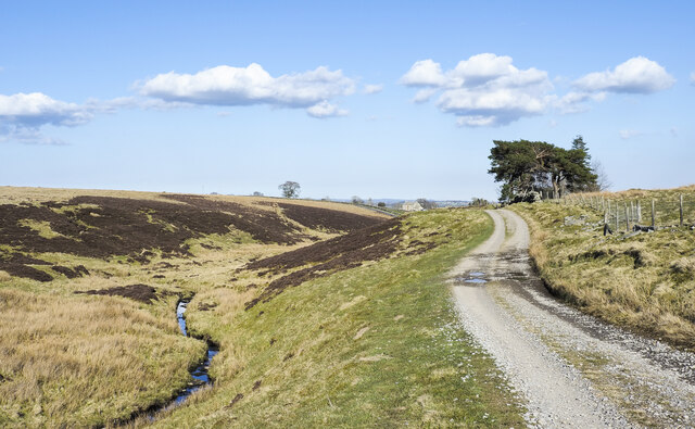
Scur Beck and hill road heading east
The road is on the north side of the MOD's Battle Hill Range which is over the fence to the right in the image.
The road reaches a minor, public road around half a kilometre ahead.
The road reaches a minor, public road around half a kilometre ahead.
 Map © Crown Copyright")
TIP: Click the map for more Large scale mapping
- Grid Square
- NY9917, 28 images (more nearby 🔍)
- Photographer
- Trevor Littlewood (more nearby)
- Date Taken
- Thursday, 15 April, 2021 (more nearby)
- Submitted
- Tuesday, 20 April, 2021
- Subject Location
-
OSGB36:
 NY 993 174 [100m precision]
WGS84: 54:33.1594N 2:0.7309W - Camera Location
-
OSGB36: NY 991 174
- View Direction
- EAST (about 90 degrees)